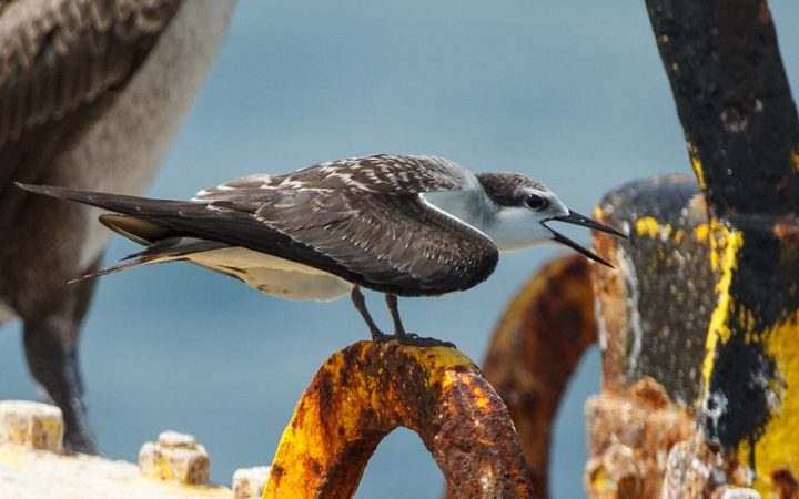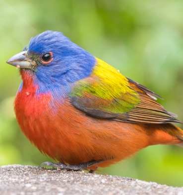
Start with a public habitat near you that fits the birds and the kind of outing you want. If your goal depends on a species, habitat, or seasonal migration you can’t find locally, pick a region farther away. Either way, check dated bird reports and the land manager’s current access information before you go.
Choose a birdwatching place for your outing
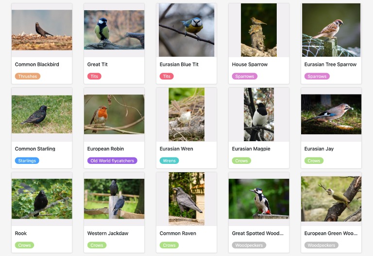
Pick the place based on what you want from the outing. Learning the common birds after work? A neighborhood park does the job. Chasing migration, one species, or a habitat you can’t find at home? That’s when a longer trip makes sense.
Decide what you’d enjoy most: recognizing the birds near home, sitting beside a pond, watching activity in woodland, photographing birds from a permitted viewing point, or exploring a landscape unlike anything nearby. The checks for eBird hotspots, habitat, and dated sightings appear in how to find useful birding hotspots.
| Your birdwatching goal | Place to consider | Main trade-off |
|---|---|---|
| Learn familiar birds | Local park, yard, or neighborhood green space | Fewer habitat types in a small area |
| Watch activity along water | Pond, river corridor, or wetland | Shoreline access and viewing distance |
| Spend time among woodland birds | Wooded park or forest-edge trail | Canopy cover and undergrowth limit visibility |
| Photograph birds | Permitted viewing area suited to your equipment | Distance and disturbance rules limit where you can stand |
| Observe seasonal migration | Regional habitat used during the relevant season | Dates drive the choice |
| Pursue a particular species | Habitat in its documented geographic and seasonal range | More research and travel |
With 45 minutes after work, the park beside a pond gives you far more watching time than a distant refuge. If you’re building a weekend around one specific bird, the habitat and season can justify the drive.
Set the trip scale first: a short local visit, a day trip, or a dedicated birding vacation.
Good birdwatching can begin a few minutes from home

A yard, a tree-lined street, a neighborhood park, or a stretch of open water near you is a fine place to watch birds. Audubon’s beginner guidance includes familiar locations close to home, where birdwatching fits into an ordinary day.
Walking the same route has its own payoff. After a few visits you notice where the birds feed, how they interact, and when they’re most active. You don’t need a life list for that.
One r/birdwatching contributor describes a deliberately low-pressure approach: returning to a local park and enjoying its familiar birds.
I know a lot of people take this hobby seriously, chasing lists and traveling, but as someone with a “three-minute attention span,” lazy birding is where it’s at. I don’t force myself to go out. No “fear of missing out.” If I’m busy with work or life, I just stop. The birds will be there later. I’ve realized that because I’m not constantly over-stimulating my brain with new adds, I appreciate the regulars way more. I see the same House Sparrows, Northern Cardinals, and the local Woodpeckers in my local park every day. It’s comforting. They are my “old neighbors.” The scarcity of new birds makes the rare encounters hit so much harder. When I finally spot a migrant or something different, the rush is incredible. The best part is the “accidental expertise.” I never opened a textbook, yet slowly, the ear-birding clicked. The IDs stuck. It’s effortless learning. Also, let’s be real: pointing out a specific bird to a non-birder friend and seeing their reaction is a top-tier feeling. Does anyone else bird like this? Just totally passive until something catches your eye?
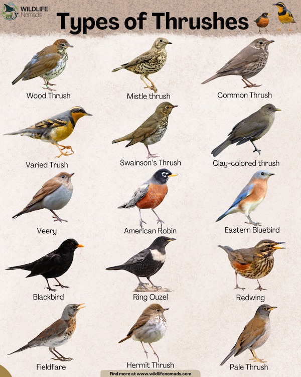
Repeat visits make comparisons easy. On a route you know well, jot down the birds you hear, where they gather, and what changes between visits. An ordinary walk becomes a record of one small patch of habitat.
Match the habitat to the birds you hope to see
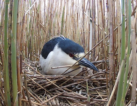
Habitat narrows your choice before you pick a named park or trail. Two places in the same state can offer very different birdwatching if one is a wooded hillside and the other an open marsh.
| Habitat | What you can observe | Condition to consider |
|---|---|---|
| Pond, river, or wetland | Open water, banks, marsh vegetation, and water edges | Water levels, shoreline access, and viewing distance |
| Woodland and forest edge | Tree canopy, trunks, understory, and clearings | Visibility, terrain, and vegetation density |
| Coast or estuary | Shorelines, tidal edges, and coastal habitat | Tides, wind, and permitted entry points |
| Grassland or open country | Broad sightlines and low vegetation | Exposure, walking conditions, and access rules |
| Desert or sky-island landscape | Arid habitats and changes with elevation | Weather, route conditions, and travel effort |
| Urban green space | Street trees, gardens, lawns, and ponds | Extent and variety of green space |
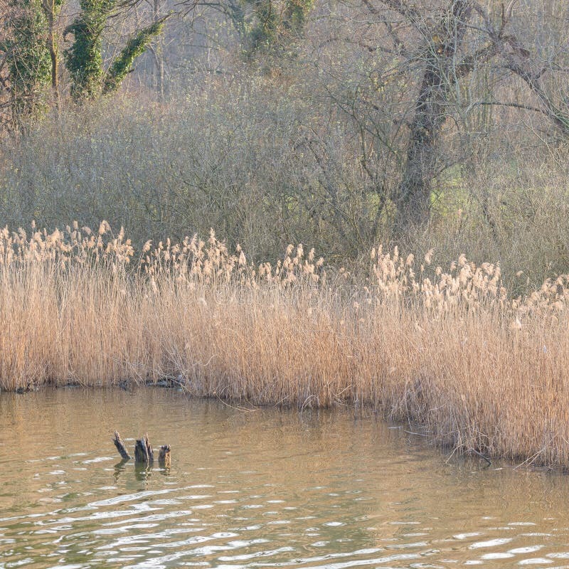
Large parks and wildlife refuges hold several environments. eBird’s Hotspot Groups reflect that by linking a broad destination to smaller places such as trails and overlooks. Use the habitat description or sublocation map to find the part of a large site that fits your interest.
Choose a US region and season when the trip has a specific purpose
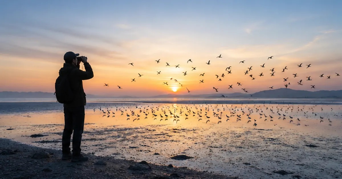
Travel to a region when the birds, habitat, or migration you want need a particular place and time of year. The United States has coastal marshes, wetlands, forests, grasslands, deserts, and mountain environments, so match the region to the purpose of your trip.
At Bosque del Apache National Wildlife Refuge in New Mexico, the U.S. Fish and Wildlife Service describes major winter gatherings of snow geese, Ross’s geese, and sandhill cranes. Its visitor information gives early November through late January as the period with the greatest bird numbers. Roosting and feeding locations shift within the refuge.
In Florida, the Anhinga Trail in Everglades National Park offers a different outing. The National Park Service describes a 0.8-mile (1,200-meter) round trip through sawgrass marsh and freshwater habitat. For habitat, trail access, and recent sightings, see planning birdwatching in florida.
NPS also calls the trail wheelchair accessible and notes that you can see anhingas, herons, egrets, and other wildlife, especially in winter.
A hike can turn into a birding trip. One new birder describes visiting Big Bear, California, and discovering the hobby along a trail.
Went on a trip to Big Bear, CA this week and on a hike I was really taken by some Northern Flickers and other little songbirds. Went to the local library, checked out The Sibley Guide to Birds, and I was hooked. Yesterday I bought a pair of binoculars and that was a real upgrade. I feel really proud of my new life list! The rush of seeing a new bird is so great, it’s like a gamefied way of appreciating nature. This trip (which swiftly came to revolve soley about birding) was the perfect intro to the hobby- there were so many freakin birds here! But I’m excited to go home and learn about my local little dudes as well. One note, I think I misidentified the Northern Mockingbird, I now believe it was an Acorn Woodpecker. Not sure how to remove him from my life list. Everyone else I’m fairly confident about! Any advice for a new birder is welcome and appreciated!
Read eBird reports for what they show
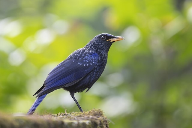
eBird lets you compare places through shared hotspots, observation records, and seasonal reporting information. Keep the location, date range, and checklist effort in view when you read them.
A hotspot is a shared location where different observers submit sightings. An individual’s personal location is a different record. A Hotspot Group connects several smaller birding locations within a large park or refuge, so the group and a named trail can cover different areas.
| eBird information | What it represents | How it helps a choice |
|---|---|---|
| Shared hotspot | A community-used observation location | Identify a candidate site |
| Hotspot Group | Related sublocations in a broader area | Find the part you plan to visit |
| Species total | Species reported in the selected location data | Shows recorded diversity and reporting history |
| Dated observation | A bird reported by an observer on a date | Compare timing with your visit |
| Bar-chart frequency | Share of complete checklists reporting a species | Compare reporting patterns for your period |
| Thin reporting data | Few checklists, concentration, or missing chart coverage | Apparent frequency is less reliable |
A species total counts accumulated reports, so it reflects the size of the location and how much reporting it gets. For a seasonal or target-species trip, compare date-specific patterns instead.
In eBird’s bar-chart guidance, a frequency value of 0.4 means that a species was reported on 40% of the complete checklists in the selected place and week. It does not mean an individual visitor has a 40% chance of seeing that species.
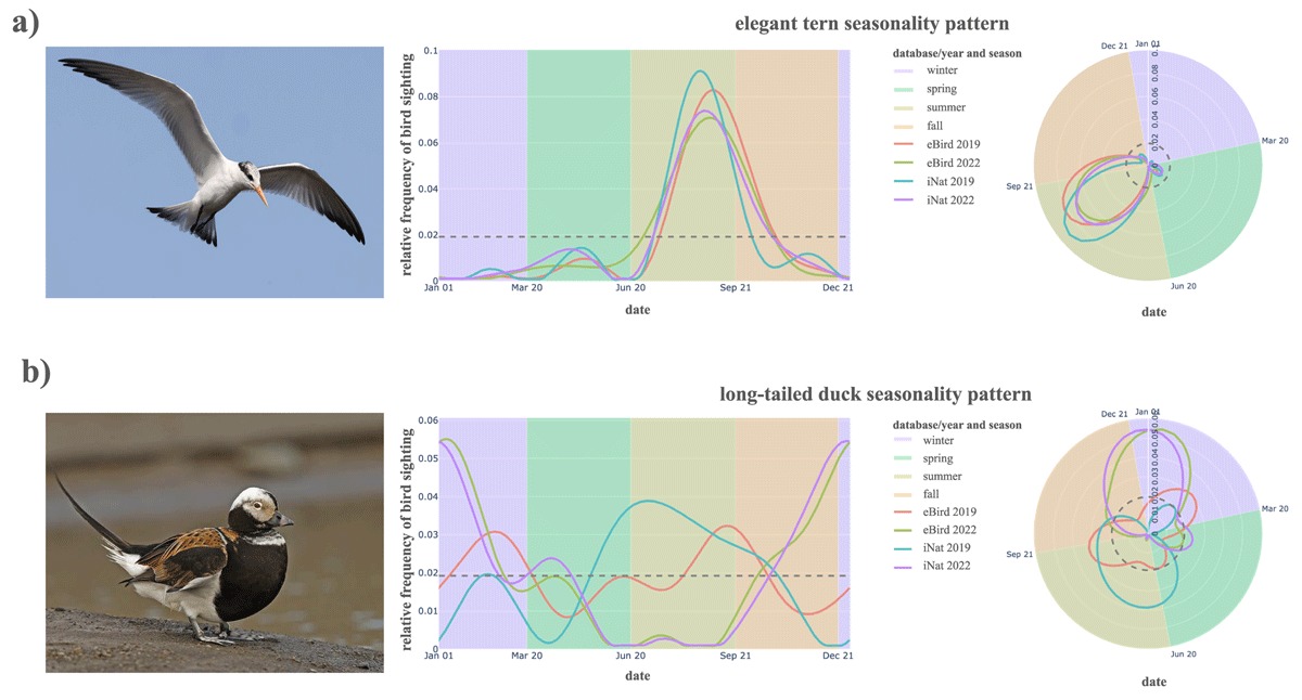
A complete checklist is the observer’s best effort to report all identifiable birds detected during an outing where birding is the primary activity. It is not a census of every bird present. Observer skill, effort, location choice, and timing all shape the evidence behind a chart.
For its Iconic Birds feature, eBird flags thin data when a period has 20 or fewer complete checklists, just one reporting observer, gaps in bar-chart coverage, or extreme frequency values. These warnings qualify how reliable the Iconic Birds suggestions are for that location.
Take a large park with years of reports and a small habitat that fits your goal but has only a few checklists. The small site can still be a good choice. Just read its frequency numbers as thin.
Check the entrance, rules, and accessibility before you leave
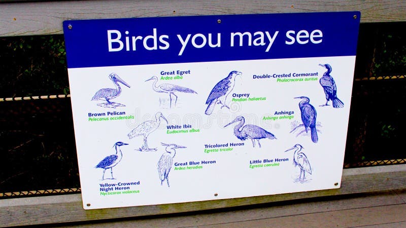
A good birding location still needs a public way in. A hotspot marker can sit somewhere inside a large park without showing the permitted entrance, parking space, trailhead, or boardwalk.
In its April 2026 Hotspot About documentation, eBird describes three sections: Plan Your Visit, How to Bird Here, and About This Place. Contributors can fill them in with parking, directions, hours, permits, fees, access, amenities, and site restrictions.
Some entries have unknown or incomplete fields. For current closures, admission rules, property boundaries, and permissions, the park, refuge, or other land manager has the final word.
| Detail to confirm | Specific question it answers |
|---|---|
| Public entrance | Where are visitors allowed to enter? |
| Hours and closures | Will the area and planned route be available? |
| Permissions and fees | Is a ticket, permit, or advance authorization needed? |
| Parking or transit | Which arrival point serves the intended location? |
| Trail characteristics | What are the surface, width, slope, and length? |
| Facilities | Are restrooms, seating, or suitable viewing points available? |
| Changing conditions | Are flooding, repairs, weather effects, or temporary restrictions reported? |
Physical accessibility depends on the route and the visitor. The Birdability access considerations cover surfaces, slopes, widths, and available infrastructure.
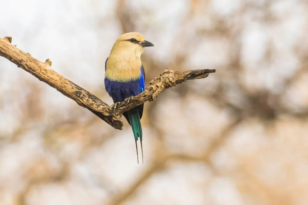
A field hotspot’s map pin can sit well away from the permitted parking area, and another route through the same landscape can be cut off by high water. A clear arrival point and route description saves you a wasted trip.
What makes an eBird hotspot “Restricted Access”?eBird uses the designation when entry requires advance authorization. An ordinary day-entry fee or posted opening hours alone are separate conditions.
Find your next birdwatching destination in the United States
Choose a resource that matches the scale of your trip. For a nearby outing, search local hotspots. For a longer journey, use a regional guide. For a refuge visit, read the information for that protected area.
- Find birding hotspots near you. Use eBird Explore Hotspots to browse shared birding locations by region and open a hotspot’s site information.
- Birdwatching in Florida. A state-level guide covers wetlands, coasts, and locality-specific routes. Everglades habitats are a starting point.
- Plan a birding trip in Texas. A state guide lets you compare regions and find the habitat that fits your birding goal.
- Birdwatching regions in California. Narrow the trip to the part of the state you will visit, then to a habitat and a local site.
- Birds and birding places in New York City. A city guide helps you choose among urban parks and other green spaces.
- Birdwatching in Arizona. Regional guidance separates desert environments from higher-elevation habitats.
- Birdwatching at national wildlife refuges. Use the U.S. Fish and Wildlife Service’s refuge information to find specific locations and their visitor arrangements.
Keep the plan flexible and the birding respectful
Wildlife, weather, and site conditions can change an outing. The American Birding Association’s birding ethics code calls for respecting birds, sensitive habitat, property, and other visitors. If an access route is closed, unsafe, or likely to disturb nesting birds, leave the sensitive area alone and use a publicly permitted alternative.