Choose a California birding destination by the habitat, season, and distance that fit your trip. Point Reyes suits coastal migrants and wetlands. Monterey Bay is the pick for marine birding. Central Valley refuges draw winter waterfowl, the Salton Sea has desert wetlands in the cooler months, and Sierra forests give you mountain habitats when roads are open.
Where to Go Birdwatching in California: Start With Habitat and Time
A coastal lagoon, an inland refuge, and a mountain forest each call for a different approach. On the coast you scan mudflats or watch migrants move through scrub. In the Central Valley in winter, you watch waterfowl. In mountain woods, you start with movement and calls among the trees.
Four details narrow the choices: your starting area, the month, the time you have, and the birds or habitat you want to see. Your starting location decides whether a site is a short outing or a separate trip. California is large enough that a famous site can be the wrong choice for an otherwise promising day. Set one objective, such as studying shorebirds at an estuary or watching waterfowl from a refuge auto tour.
| Birding goal | Region and representative destination | Viewing style | What can change the choice |
|---|---|---|---|
| Coastal migrants and shorebirds | Point Reyes National Seashore | Wooded valleys, wetlands, lagoons, coast | Wind, fog, protected habitat, target birds |
| Seabirds and marine birding | Monterey Bay and the Central Coast | Shore observation or offshore boat | Whether your goal requires going offshore |
| Winter waterfowl | Sacramento Valley wildlife refuges | Auto tours and designated trails | Refuge rules and wetland conditions |
| Southern coastal wetland birds | Bolsa Chica Ecological Reserve, Orange County | Estuary trails, mudflats, salt and freshwater marshes | Permitted trail access and travel time |
| Desert wetlands | Salton Sea | Shoreline and designated refuge areas | Heat, shoreline conditions, public access |
| Forest and mountain birds | Sierra Nevada, including Yosemite | Wooded trails and mountain environments | Snow and seasonal roads |
A February waterfowl trip points to managed inland wetlands, and an August interest in offshore seabirds points to Monterey Bay. In spring around the Bay Area, Point Reyes is the choice. Cross-check habitat, trail access, and recent sightings in the birding places guide.
What Time of Year Is Best for Birding in California?
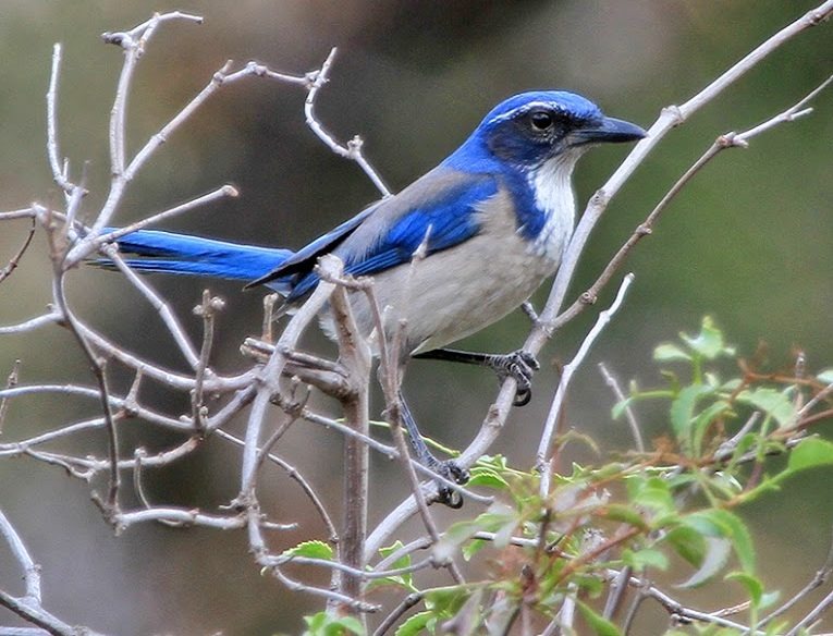
California lies along the Pacific Flyway, a migration corridor spanning coastal and inland habitats. Migration changes what you see along the coast, winter brings waterfowl to inland wetlands, and mountain plans depend on which elevations are open.
| Window | Region | What you see | Habitat |
|---|---|---|---|
| March to May | Point Reyes | Northward migration | Coastal and sheltered landbird habitats |
| August to December | Point Reyes | Southward migration | Varied habitats |
| August to October | Monterey Bay | Especially productive period for pelagic diversity | Offshore viewing matters |
| Winter | Sacramento Valley refuges | Wintering waterfowl | Managed wetlands and auto tours |
| November to February | Salton Sea | General bird-viewing period identified by California State Parks | Cool-season desert wetlands |
| Seasonally accessible periods | Sierra Nevada and Yosemite | Forest and mountain habitats | Elevation and snow limit access |
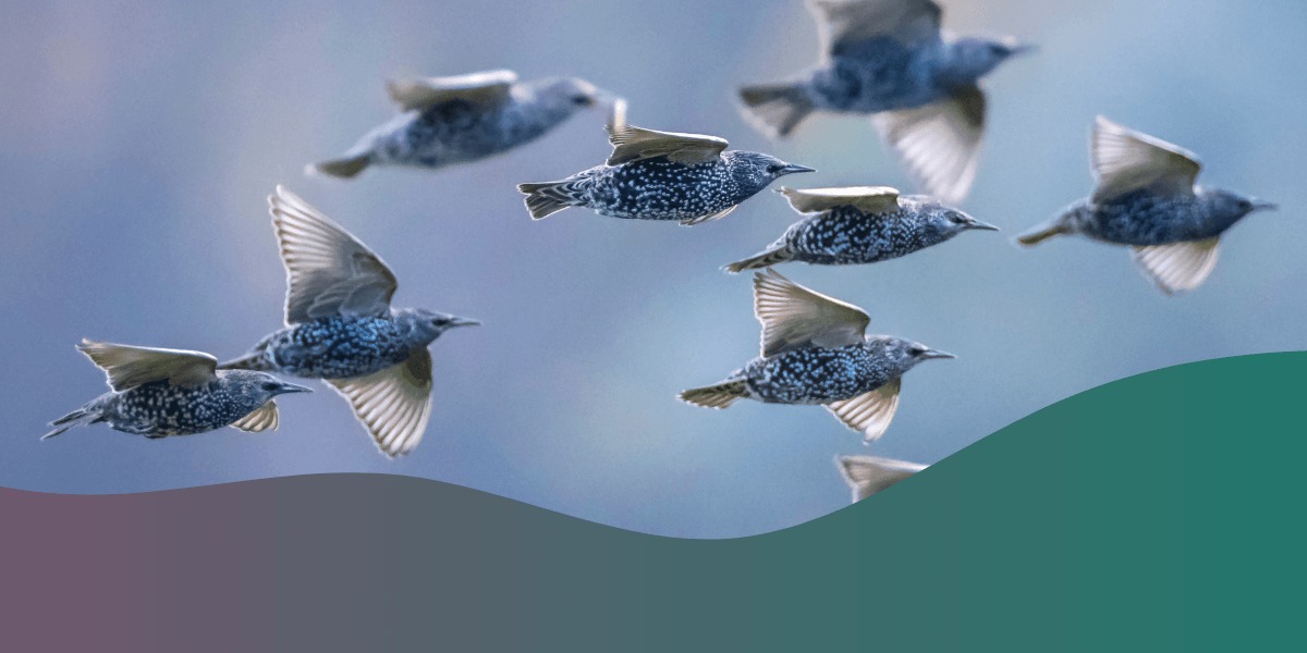
Point Reyes and the Northern California Coast
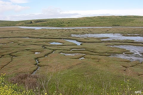
Point Reyes National Seashore packs several habitats into one park: wooded valleys, coastal scrub, grasslands, wetlands, lagoons, and exposed ocean views. That variety gives you options when wind or fog hits a coastal migration trip.
Bear Valley is a wooded spot for watching and listening for landbirds. Giacomini Wetlands is the wetland stop. Limantour suits coastal and shorebird watching, and Abbotts Lagoon is good for winter ducks and raptors. The National Park Service’s Point Reyes birding guide describes these areas and the park’s migration seasons.
Spring landbirds and wetland birds send you to different parts of the park. Fog and wind make distant scanning hard on the exposed coast, so head for sheltered habitat such as Bear Valley’s woods. Expect persistent fog at times from July through September.
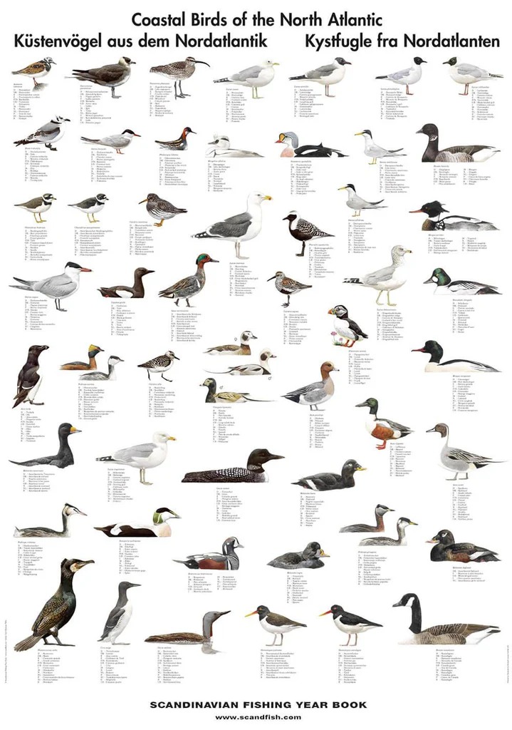
Abbotts Lagoon draws winter duck and raptor watchers, but nearby habitat is also important to nesting western snowy plovers. Stay out of posted protected areas and give nesting birds space, even when a good photograph is close.
Monterey Bay and the Central Coast: Shorebirds Versus Offshore Seabirds
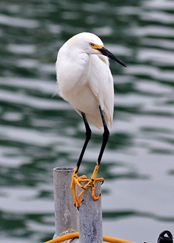
Monterey Bay gives you two ways to spend a day: coastal observation or offshore pelagic birding. Shorebirds use beaches, mudflats, and estuarine edges. Marine birds occupy coastal waters, while many pelagic species spend much of their time farther offshore.
The bay’s marine productivity comes from the California Current, upwelling, and the Monterey Submarine Canyon. The Santa Cruz Bird Club’s Monterey Bay guide notes that some seabirds can be watched from shore, sometimes at considerable distance. For good views of many truly pelagic species, an offshore trip is the better method.
Deciding between shore and boat
A coastal walk fits a short outing built around beaches, estuaries, and nearshore birds. If you want shearwaters or storm-petrels, take a birding-focused boat trip when the operator’s route and sea conditions allow.
Birding boats run for birders, unlike whale-watching or fishing trips. Plan around scheduling, weather, comfort, and sea state. The Santa Cruz Bird Club describes August through October as a particularly productive period for pelagic diversity, and conditions still vary from one departure to another.
Central Valley Refuges: Winter Waterfowl and Auto Tours
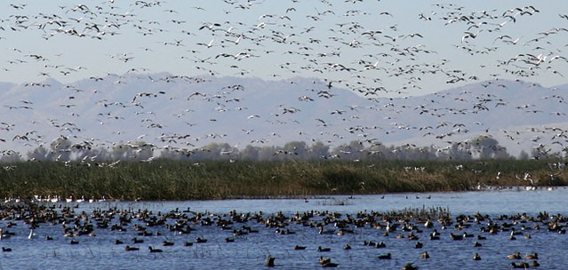
Sacramento Valley wildlife refuges are the place for winter waterfowl in managed wetlands. Sacramento National Wildlife Refuge and Colusa National Wildlife Refuge suit birders who want to watch ducks and other wetland birds without a long walk.
The auto tour lets you watch wildlife from your vehicle. At Sacramento National Wildlife Refuge, the one-way tour runs about six miles, and you can leave your vehicle at three designated Park-and-Stretch areas. The U.S. Fish and Wildlife Service’s auto-tour guidance also describes separate permitted walking trails and observation areas.
Outside the designated stopping locations, stay in your vehicle, even when a bird is close enough to photograph. The posted speed limit is 15 mph.
Southern California: Coastal Wetlands or Salton Sea Desert Birding?
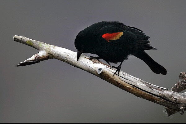
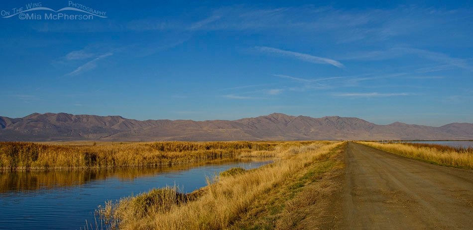
In Southern California you can pick coastal marshes and estuaries or the inland desert wetlands around the Salton Sea. Travel time, habitat, and season decide which fits.
Bolsa Chica Ecological Reserve near Huntington Beach is a coastal option in Orange County. The California Department of Fish and Wildlife describes an estuary with mudflats, salt and freshwater marshes, and public trails. Pick it for a coastal wetland trip that skips the inland desert.
The Salton Sea is a contrast. California State Parks identifies November through February as a useful general viewing period and recognizes the area’s importance to wintering and migrating birds. Summer heat, changing shoreline conditions, and permitted access determine which parts you can visit.
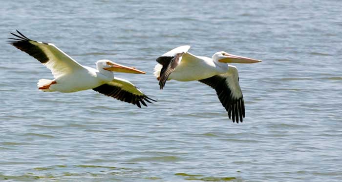
Salton Sea State Recreation Area belongs to California State Parks. Sonny Bono Salton Sea National Wildlife Refuge is managed by the U.S. Fish and Wildlife Service. At the federal refuge, Rockhill Trail is near the headquarters in Unit 2. Hardenberger Trail and photo blinds are in Unit 1.
Sierra Nevada and Yosemite: A Different Kind of Birding
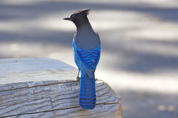
Yosemite National Park spans foothill chaparral, conifer forest, and alpine environments, a different setting from coastal estuaries and inland waterfowl refuges. In the forest, movement and calls among the trees guide you. Tioga Road closes with winter snow, so plan a lower-elevation route for those months. Do not approach or feed wildlife, and respect park closures.
How to Use eBird Without Misreading a Hotspot
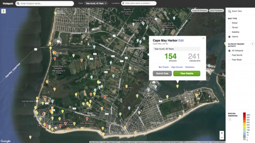
eBird lets you compare California locations and seasonal reports once you know what each record measures. A hotspot’s species list, recent checklists, and seasonal Bar Charts each show something different.
| eBird information | What it describes | How to use it |
|---|---|---|
| Hotspot species list | Species reported across the site’s observation history | Browse the possible variety, then narrow by season |
| Recent checklists | Dated observations submitted by visiting birders | Check how recent the reporting is |
| Bar-chart frequency | Share of complete checklists reporting a species in the selected region and week of the year | Compare how often a target species is reported by season |
In Cornell/eBird’s Bar Charts documentation, a frequency of 0.4 means that the species was reported on 40% of complete checklists for the selected region and week of the year. That proportion reflects submitted checklists and observation effort. It gives no personal sighting guarantee and no measure of bird density.
When a hotspot has very few reports
A visitor from Kentucky found sparse eBird reporting near San Jose, despite expecting active birding around the Bay Area:
I live in Kentucky but travel to the Bay Area of California every now and then to visit family. I got into birding about a year ago and the hotspots back home have super regular checklist updates; usually from local birders who go out multiple times a week but also from infrequent birders and visitors. There’s a ton of publicly accessible nature along the coast of central California and the people who live here are much more likely to venture outdoors than folks back home since the weather is so nice every day, but hotspot checklists where I’m visiting right now are sparse. I went birding at a popular park in San Jose and there had only been 2 checklists in the past 30 days, the most recent one being 20 days ago.
Two checklists in 30 days gives you little to compare.
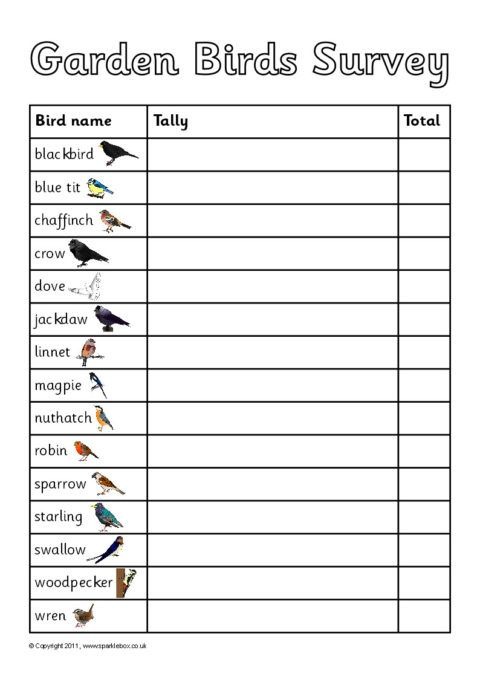
A four-step site check
- Find the location. In eBird Explore, open the region or hotspot you are considering.
- Inspect recent submissions. Check the checklist dates and how much reporting happened in your travel window.
- Compare the season. Use Bar Charts for the region and week of the year to see how often each species is reported.
- Assess thin coverage. When reports are sparse, compare other hotspots and their habitat before you decide.
Make a Realistic Plan, Check Access, and Keep a Backup
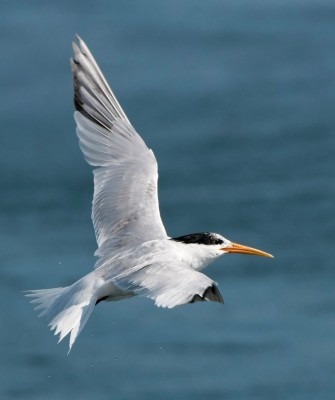
One California birder called their plan a “medium-year,” built on attainable outings:
Like the title says I’m curious if anyone is going to do a big year in 2026? I don’t have the time, resources, or patience to fully commit to it. so I plan on doing what I’m calling a medium-year. My MO is generally just to go out, chill, walk/hike around, shoot as many photos of birds as I can (whether I know them or not), and then identify and list when I’m editing at home. I’m aiming to find 70-80 birds, which I think could be do-able. I did 40 this past year but only really started trying for the last 3-4 months. I’m in California within driving distance to the coast, desert, and southern border so I have access to a few different types of environments. I would love to hear other people’s plans of any advice/tricks.
Check what can change before departure
- Managed access: Read the park, refuge, or reserve’s own information for permitted areas, protected nesting beaches, trail closures, and special vehicle rules.
- Coastal and offshore weather: Check wind, fog, and tides. For boat birding, confirm the operator’s departure arrangements and whether the sea state suits the trip.
- Mountain roads: Use Caltrans QuickMap and park notices for route restrictions, incidents, and chain controls.
- Smoke and air quality: When wildfires are a factor, check AirNow’s Fire and Smoke Map for your area.
- Field ethics: Follow the American Birding Association’s guidance: give wildlife room, limit playback, protect nesting and roosting sites, and stay within permitted access.
- Nearby alternative: Choose one accessible backup close to the original, with a similar birding goal, before you commit.
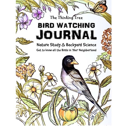
Afterward, record the date, place, and birds you saw. Notes and photographs help identify uncertain sightings.
For eBird hotspots, habitat, and dated sightings, how to find useful birding hotspots is the next step.