A national wildlife refuge is a good birdwatching choice when its habitat and season match the birds you want and an open, permitted viewing route fits your visit. If that route is closed, inaccessible, or wrong for the season, pick another public route or refuge. Before you leave, check the refuge’s Visit Us page and current alerts.
How to find a national wildlife refuge worth visiting
The U.S. Fish and Wildlife Service (USFWS) manages more than 570 national wildlife refuges, with at least one in every state. Its National Wildlife Refuge System overview has a Find a Refuge link for locating individual sites. A refuge protects wildlife habitat, including areas with restricted visitor access, so start with one or two official refuges within reach and compare their habitats with the birds you want to watch.
Match the season and habitat to the birds you hope to see
The best season depends on the refuge and the birds using its habitat. Wintering waterfowl, migrating shorebirds, and woodland or grassland breeders make very different outings, even inside the same protected area.
Bosque del Apache National Wildlife Refuge in New Mexico is a clear example. USFWS identifies early November through late January as the period with its greatest bird numbers. In winter you can watch cranes and snow or Ross’s geese. Spring brings different shorebird opportunities as wetland conditions change.
Those winter birds move between feeding and roosting areas, and the cranes and geese shift locations even within the favorable season. A spot that suits watching birds leave a roost at dawn is less useful for shorebirds feeding along exposed mud or shallow water. Compare the refuge’s own wildlife-season guidance with your month and target bird group. For winter waterfowl, find the open wetlands and roosts. For spring shorebirds, look for shallow water and the feeding areas the refuge describes.
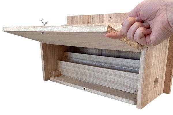
One birder describes Great Falls National Park and winter trips to the Virginia coast. The coastal refuge in that account is officially Chincoteague National Wildlife Refuge, and Great Falls is a national park outside the refuge system.
I enjoy birding at Great Falls National Park on both the Virginia and Maryland side of the Potomac River, near Washington, DC. Warblers migrate through, and Baltimore and Orchard Orioles nest there in the summer. It also has nesting bald eagles, and rookeries for great blue herons and great cormorants. We also take weekend trips to Chincoteague island to bird Assateague Island National Wildlife Refuge which has particularly excellent birding in the winter, with waterfowl, wading birds, American woodcocks, three species of rails, many species of sparrows, shorebirds, brown headed nuthatches, and owls. Also more yellow rumped warblers than you can shake a stick at. The last time we went we saw two American bitterns in one day.
Compare habitat, trail access, and recent sightings against the birding places guide before you choose.
Some visitors want large crane or goose gatherings. Others prefer a quiet woodland walk, even with fewer species. Pick the season by what you want to watch.
Check refuge access, closures, fees, and special permits before departure
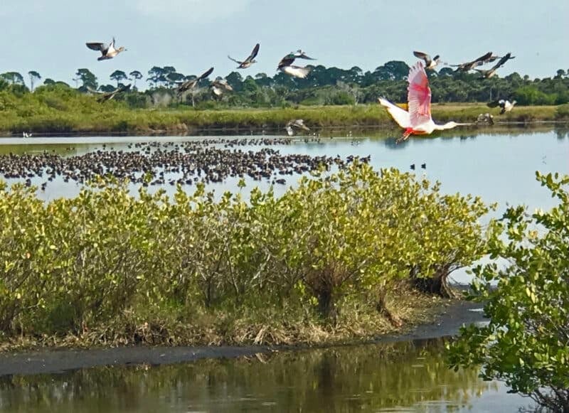
Entry to a refuge does not mean every road, trail, or observation area is open. USFWS says most refuges admit visitors, but some sections close seasonally or year-round, and some charge entrance fees or require activity-specific permits.
Before you go, read the refuge’s Visit Us page, current alerts, rules, activity notices, and event calendar. The visitor center, wildlife drive, trail, and bird blind can run on different schedules or conditions.
Blackwater’s partial Wildlife Drive closures
Blackwater National Wildlife Refuge in Maryland shows why the exact viewing area matters. Its USFWS notices list deer-management hunt closures affecting most of the Wildlife Drive on Friday, December 4, 2026, and Friday, January 8, 2027.
The Pool 5 loop stays open free of charge during those closures, and some trails may also be affected. These are dated arrangements for particular areas of the refuge.
Blackwater describes its usual Wildlife Drive as a roughly four-mile viewing route with an entrance fee or qualifying pass. Other public areas, including the visitor center, have different fee arrangements. The Blackwater National Wildlife Refuge page has the visitor and alert information.
Ottawa National Wildlife Refuge in Ohio has a different scheduling problem. Its wildlife drive does not open every day, so plan around the refuge’s designated operating dates, even when other public activities stay available.
One birding trip, two different access systems
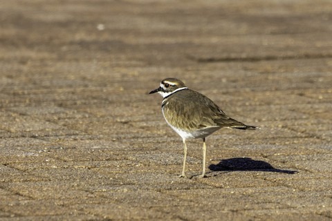
A California birder recalls watching cranes at Pixley National Wildlife Refuge and also names a wetland on an Air Force base. The two places have very different access requirements.
I really enjoyed Pixley National Wildlife Refuge, when I went to see the Sandhill Cranes. Gotta go back to see the burrowing owls. It’s only a 2.5-3 hour drive from LA. They have a bird blind you can reserve that gets you really close. Another is Piute Ponds, only 1.5-2 hours from LA. Requires permits as it’s on an Air Force base. Yes, permits plural. You need a base pass, and you need validations from the environmental management team to purchase a permit for the ponds area.
Pixley is a national wildlife refuge. Piute Ponds is associated with Edwards Air Force Base and has controlled access outside the refuge system. The reservable blind and the multiple approvals are that commenter’s experience.
When an access condition is unclear, contact the refuge’s listed staff. Name the road, trail, blind, fee, or permit, give your date, and ask about any restriction on the viewing area you plan to use.
Choose between a wildlife drive, walking trail, and observation blind
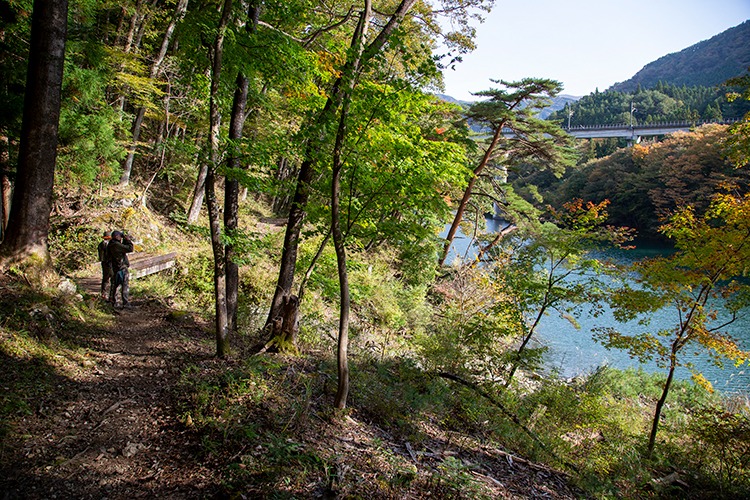
The best route depends on how you want to watch birds and which physical conditions suit you. A wildlife drive links several viewpoints, a designated trail allows slower observation, and a blind lets you stay in one position.
| Viewing method | What it helps with | Main constraint | Documented example | Suitability detail |
|---|---|---|---|---|
| Wildlife drive or auto tour | Observing from a vehicle and visiting several designated stopping points | Road conditions, one-way travel, daylight, and scheduled closures | Bear River Migratory Bird Refuge, Utah: 12-mile one-way auto tour | Designated pull-offs, available travel time, and vehicle-route conditions |
| Designated trail or boardwalk | Slower observation along a defined walking route | Surface, distance, terrain, weather, and facility availability | Turnbull NWR, Washington: Blackhorse Lake Boardwalk, 0.11 mile | Documented route surface, benches, and the visitor’s mobility needs |
| Bird blind or observation platform | Watching birds from a stationary location, sometimes sheltered from view | Approach route, capacity, site-specific permissions, and availability | Blackwater NWR has a photo blind | Whether that individual facility is permitted and practical to use |
Choose a drive if you travel comfortably by vehicle and can use its designated pull-offs. A short boardwalk suits you if you would rather settle into one habitat than commit to a longer walk. Photographers need a stationary viewpoint with an unobstructed look at the habitat. Families may put more weight on restrooms, benches, and the option to finish early.
What a published route description can tell you
At Bear River, weather, road conditions, and the time spent at observation stops affect how long the auto tour takes.
Turnbull National Wildlife Refuge offers a much shorter option. The Blackhorse Lake Boardwalk is listed as 0.11 mile, with an estimated five-minute walk, paved or boardwalk surfaces, and benches. For habitat, field notes, and binoculars, see your First Birdwatching Walk: What to Do and Notice.
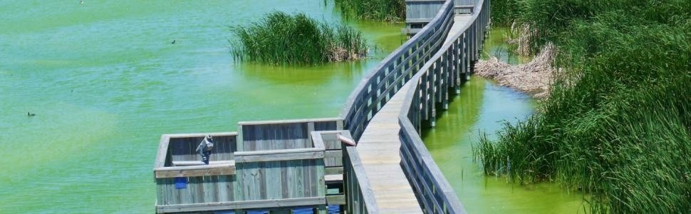
That description covers only Blackhorse Lake Boardwalk. Other trails, parking areas, restrooms, and viewing facilities in the refuge have their own characteristics. If you have limited mobility, a named route’s actual surface and length tell you more than a general statement that the refuge is accessible.
A USFWS announcement dated February 27, 2026 described a temporary alternate 12-mile auto-tour route at Bear River during road repairs, from April 4 through mid-September 2026. Routes change during projects like this one.
Read eBird hotspots and recent checklists without expecting a guaranteed sighting
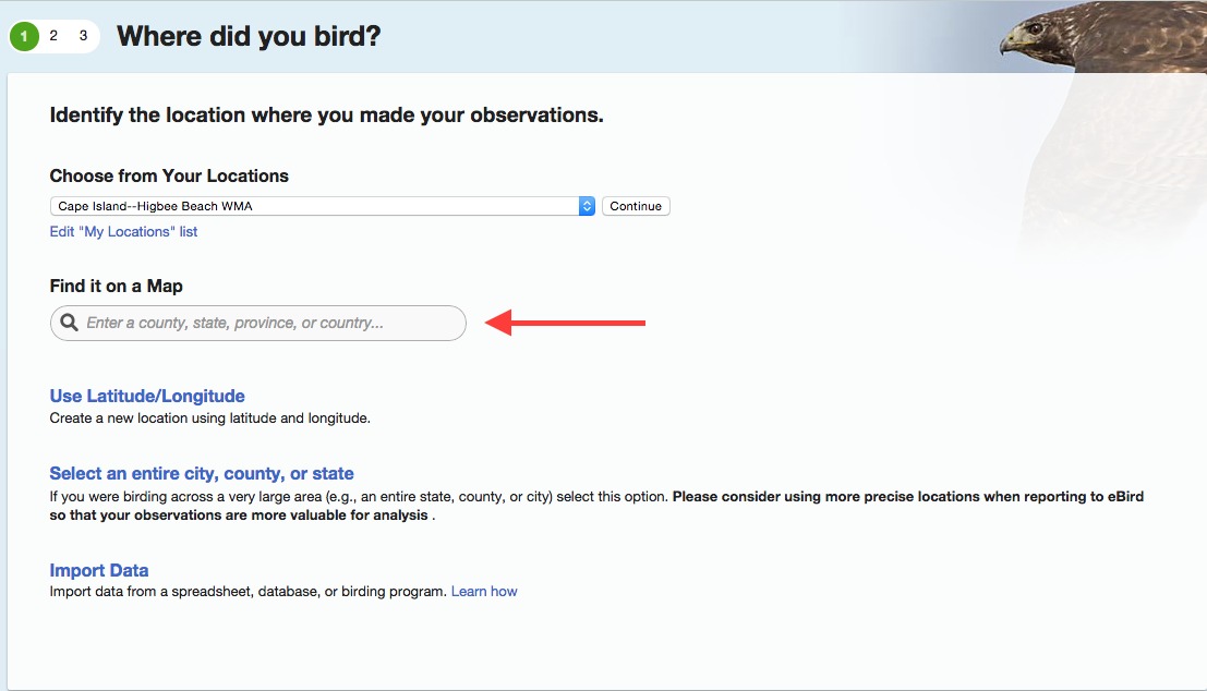
eBird shows which birds observers have reported at a refuge and where. The date, location, and type of record decide how closely a report applies to your visit.
eBird’s Explore Regions includes the United States National Wildlife Refuge System as a browsable region. Shared Hotspots and individual checklists give more localized observation records. Some exploration features require a free account. The eBird Hotspot FAQs explain that a Hotspot is a shared birding location and does not have to be an exceptional place to see birds.
| Record or information source | What it establishes | What remains uncertain |
|---|---|---|
| Refuge-wide species list | Species reported somewhere within the listed refuge or reporting area | Whether the species uses the particular public route on your date |
| eBird Hotspot | An identifiable public location used to aggregate bird observations | Whether that spot will offer exceptional birdwatching during your visit |
| Recent checklist | Birds reported by an observer at a particular location and time | Whether the same birds will be present and detectable when you arrive |
| Older unusual-bird report | A historical reported occurrence | Whether the species remains nearby or the location is still suitable |
| Official refuge route notice | The access arrangements or restrictions stated for a named public route | Which birds a visitor will encounter from that route |
For a planned outing, a recent checklist from the exact public observation area is a closer match than a refuge-wide species list. A refuge can have several Hotspots and a long historical list, with records from woodland trails, water edges, and observation points miles apart. A checklist from the wetland overlook you plan to visit tells you more about what to expect there. For hotspots, habitat, and dated sightings, how to find useful birding hotspots is the next step.
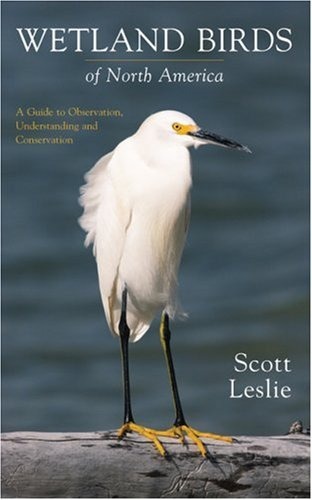
A short checklist made in poor visibility lists fewer species than a longer visit in the same habitat. Recent records set your expectations. They do not promise a sighting, and a checklist entry never changes the refuge’s restrictions on sensitive or closed areas. For an unusual bird, look closely at the identification and location details in the report.
Build a simple first-visit plan and a fallback for a quiet day
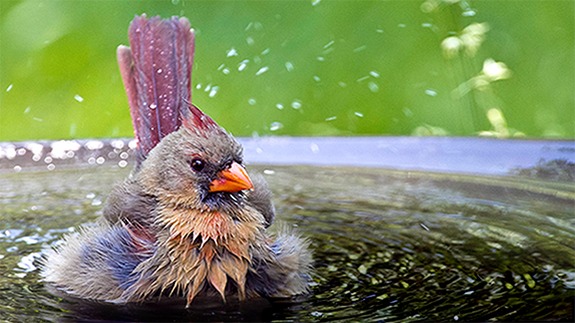
A manageable outing has one primary observation area, enough time to use it, and an authorized alternative if the day is quiet.
Your one-day refuge card
- Refuge and date: The full refuge name and your visit date.
- Birdwatching goal: The habitat or bird group that drew you, such as wintering waterfowl or migrating shorebirds.
- Primary viewing area: The designated wildlife drive, trail, boardwalk, overlook, or blind.
- Route type: One-way travel, route length, surfaces, stopping points, and facilities where they apply.
- Known access conditions: Outdoor route hours, listed separately from visitor-center hours where both matter. Add scheduled wildlife-drive dates, fees, permits, and the date you checked the official information.
- Time available: Travel, observation, rest stops, and the return before any route restriction.
- Authorized fallback: A second public viewing area or another route you have already confirmed.
- Field notes: Space for birds observed, uncertain identifications, habitat, and conditions.
The fallback matters when your first stop is quiet or conditions change. A wildlife drive might have an alternate public loop, and a refuge with several habitats might offer a different trail or overlook. Pick one that fits your remaining time and existing access permissions. If the flock is elsewhere, watch what is there before deciding whether the backup suits your time.
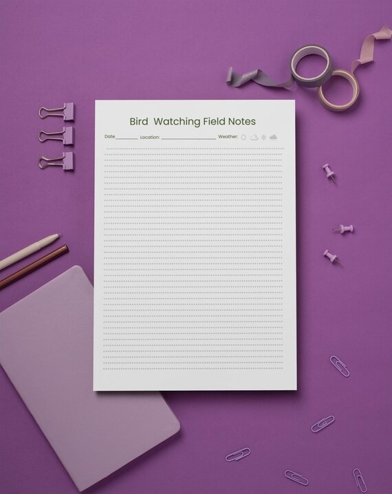
A quiet visit still gives you a chance to study behavior or settle an uncertain identification. Field notes can capture visible markings, calls, habitat, time, and location. If you cannot confirm a species, a record of what you observed is still useful.
Watch birds without disturbing the refuge or its visitors
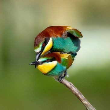
Conservation is the refuge’s purpose, so watch without disturbing wildlife or habitat. Use designated viewing areas, give nesting or roosting birds space, and follow the access and behavior rules.
The American Birding Association Code of Birding Ethics covers minimizing disturbance, responsible use of sound recordings and photography, respect for private or restricted areas, and care with sensitive location information. Each refuge’s posted rules decide what is permitted there.
A designated observation platform lets you watch nearby birds without entering protected habitat. Crossing a restricted shoreline for a closer photograph can disturb wildlife and break refuge rules. For nests, approach distance, and recorded calls, see ethical birdwatching around sensitive birds.
When a good birding spot is sensitive
Birders hold strong opinions about sharing the locations of vulnerable sites. One contributor complained about the publicity some spots get:
I’m so glad that nobody actually gave up their SPECIFIC honey-hole birding spots to the internet here!!! Yay!!! Even spreading by word of mouth leads to sensitive habitats being overrun by uncouth tourists with less than no sense of how to interact safely with the wildlife or the habitat!!! Guide books RUIN the best spots on earth like it was their JOB!!!
Revealing the precise location of a vulnerable nest or roost exposes birds to disturbance.
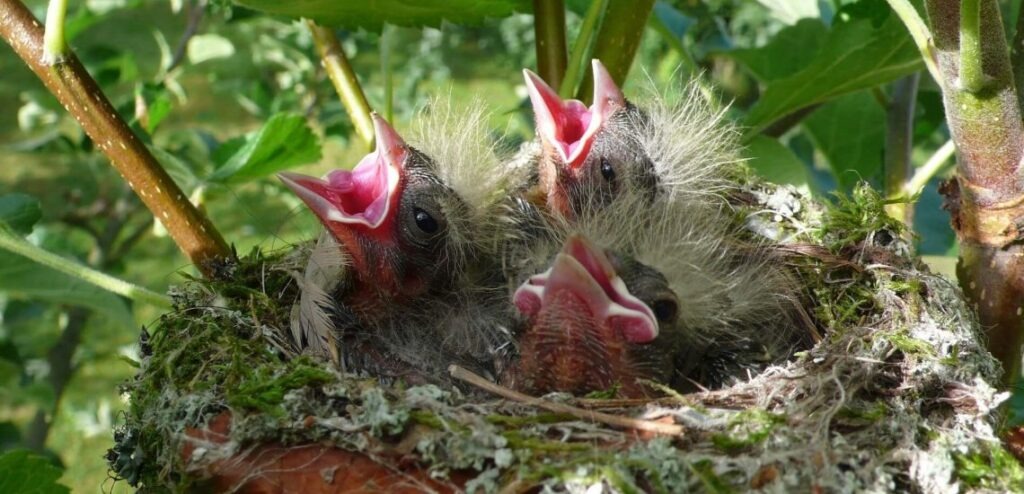
Sharing a refuge’s official public viewing routes helps other birdwatchers find appropriate places to observe. Keep nest coordinates, restricted sites, and vulnerable roosting locations to yourself.
Courtesy toward other observers counts too. Identification involves uncertainty, and a patient exchange about field marks or behavior helps more than arguing over an uncertain sighting.