Choose a nearby birding spot that fits your time, habitat interests, and access needs—not simply the hotspot with the biggest all-time species list. If current or seasonal reports are thin, check the site with its manager or a local birding group, confirm that you can visit, and keep a backup location before leaving.
You have a free Saturday morning, and a map shows several promising places: a wooded park, a wetland trail, and a wildlife refuge. The refuge has the longest species list. The smaller park is easier to reach. Which one deserves your morning?
Start with eBird’s Explore Hotspots to find possible places. Then read the observation data in context and test each destination against the trip you want to make. The same process works for a familiar neighborhood or a county you’ve never visited.
Start with an outing you can actually take

Before you open a map, decide how far you’ll travel, how long you have, and how much you’re willing to walk. Then decide whether you want to see whatever turns up or spend the morning in one habitat, such as woodland, marsh, or shoreline.
A first birding trip can be a walk through a public park with time to stop, listen, and watch. If you’re not sure what to do once you get there, start with your First Birdwatching Walk: What to Do and Notice.
I would love to go birding sometime but I don’t really know what to actually do. Is it basically just going for a hike and bringing binoculars and seeing what you see? Do you look up places to go? What do you need to bring? How do you find out good spots? Thanks!
Season, habitat, and sometimes tides affect which birds are active or visible, so timing matters if your schedule is flexible.
Find nearby birding hotspots on eBird
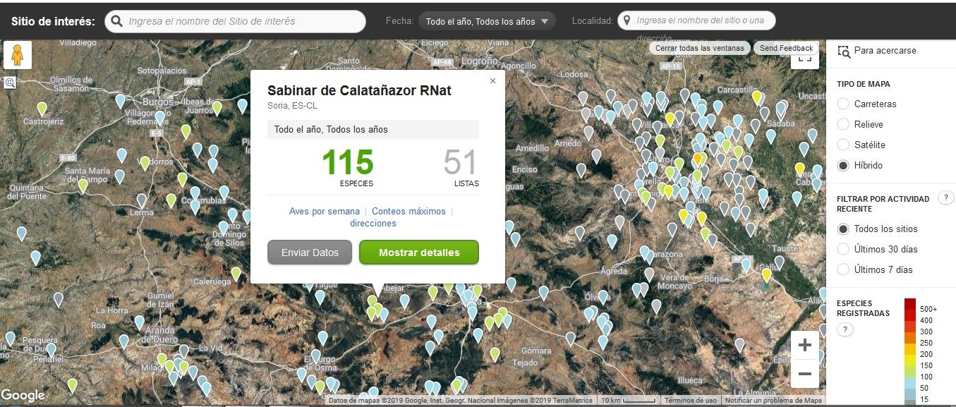
eBird gives you three ways to find shared birding locations. Use the map for a place near you, a regional listing for a wider search, or Explore in the mobile app when you’re on a phone.
| Route | Where to go | Best use |
|---|---|---|
| Explore Hotspots | On eBird.org, open Explore, then Explore Hotspots, and navigate to your area. | Finding specific nearby locations on a map. |
| Explore Regions | Find a state or county in Explore Regions, then open its Hotspots listing. | Comparing locations across a broader area. |
| eBird Mobile Explore | Open Explore in the eBird mobile app and browse your intended area. | Looking through locations on a phone. |
The official eBird Explore Hotspots guide describes these routes. Explore Regions works down to counties or districts, so use the hotspot map when you want a particular park or trail within a town.
Open two or three promising hotspot pages and write down their exact names. In a large refuge, one entry may be a boardwalk while another covers a marsh trail or a broader group of sites. Record the specific boardwalk or trail that matches your visit.
Do I need an account to explore?Some Explore features require a free eBird account, and eBird prompts you to sign in when you reach one.
Understand what a hotspot and its numbers mean

An eBird Hotspot is a shared reporting location where birders associate their observations. A personal location is a separate reporting place with more limited visibility. A Hotspot Group joins several specific sites within a larger park or refuge, so its records can cover more ground than you’ll walk in one visit.
Check what area each record covers before you compare two places:
| Record or view | What it represents | How to use it |
|---|---|---|
| Shared hotspot | A place used for community checklists. | Identify the exact site and read its checklist history. |
| Personal location | An individual birder’s location, with restricted visibility. | Don’t treat it as a shared hotspot when you compare sites. |
| Hotspot Group | Several related locations aggregated within one area. | Open the individual sublocation that fits your outing. |
| All-time species list | Species accumulated through reports across months, years, and different observation efforts. | Read it as the site’s recorded diversity, shaped by who reported and when. |
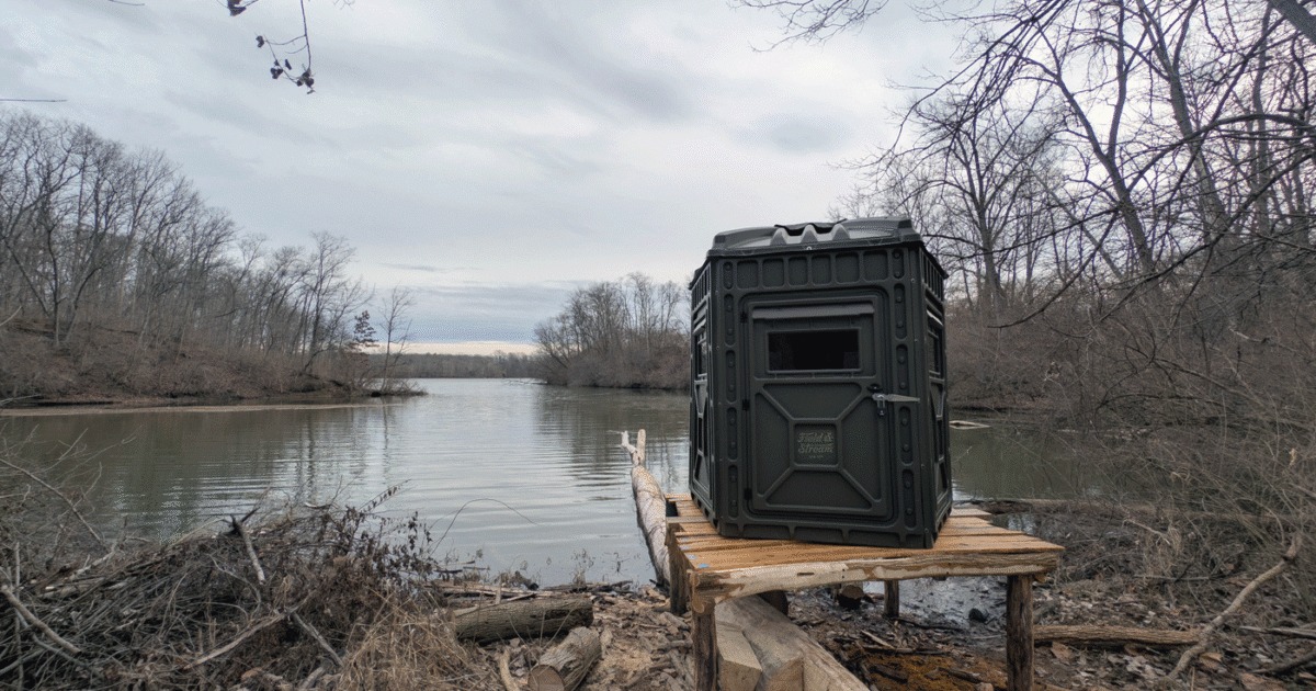
A refuge group might collect records from marshes, woodland, and an observation blind, while a short walk to one blind covers far less ground. Check the site’s boundaries and checklist history before you read anything into its species total. The all-time list tells you what has been recorded, not what you’ll see on your morning.
Totals also reflect who reported. Birders cover different distances and spend different amounts of time, and some identify species by sound while others stick to what they see.
Look at recent reports and the right season
Recent visits tell you what people have reported lately. Bar charts show the proportion of complete checklists that recorded a species during a selected time period and geographic area.
On a hotspot page, read the dates and locations of recent checklists. For a bird you particularly want, open the regional or hotspot bar chart to see how its reporting frequency changes over the year. The official eBird Bar Charts documentation explains the calculation.
A frequency of 0.4 means 40% of complete checklists for that area and period reported the species. It measures reporting frequency, so your own encounter also depends on where and how you look, how long you stay, and which birds you can detect.

When one recent report and seasonal history disagree
Say one hotspot has a fresh report of the bird you want but little evidence for your season. Another has reports across the relevant weeks from several outings, though its newest sighting is older. If a specific recent sighting prompted the trip, the first hotspot gives you a lead. For a routine outing built around habitat and season, the second has the more useful history. Decide whether you need a particular recent report or a place whose record fits your usual goal.
Compare places with a five-part suitability check
Put the short list through five filters: public access, matching habitat, relevant seasonal evidence, your travel and mobility needs, and responsible use of the site. An option with a known access restriction fails, however good its old bird lists look.
Here is an example comparison for someone seeking waterbirds on a manageable morning walk.
| Filter | Site A: large historical list | Site B: smaller wetland |
|---|---|---|
| Public access | Visiting conditions unclear | Visitor trail described |
| Habitat | Several habitats; intended route uncertain | Wetland matches waterbird interest |
| Seasonal evidence | Little information for the visit period | Reports available for the relevant season |
| Personal feasibility | Walking distance and route conditions unknown | Described route fits the planned outing |
| Ethical suitability | Access boundaries need clarification | Established visitor route identified |
Site B wins for a waterbird walk. For woodland birds or a longer hike, the answer changes.
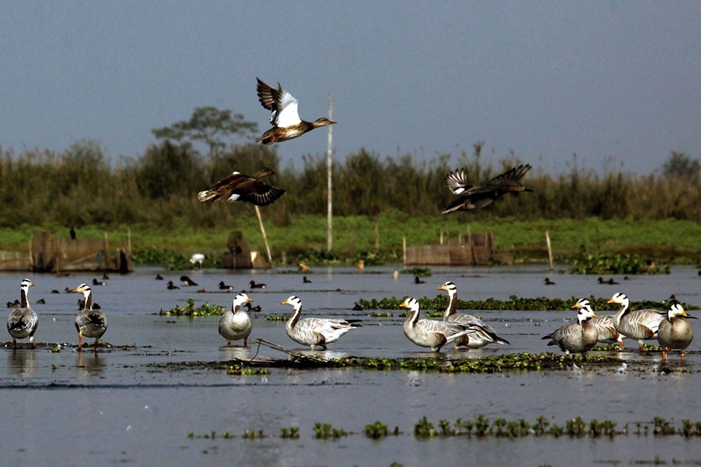
Mark each candidate suitable, needs confirmation, or reject. Respect protected habitats, posted restrictions, nesting areas, and private property, in line with the American Birding Association’s Code of Birding Ethics. For nesting sites, approach distance, and recorded calls, see ethical birdwatching around sensitive birds.
Confirm access and accessibility before visiting
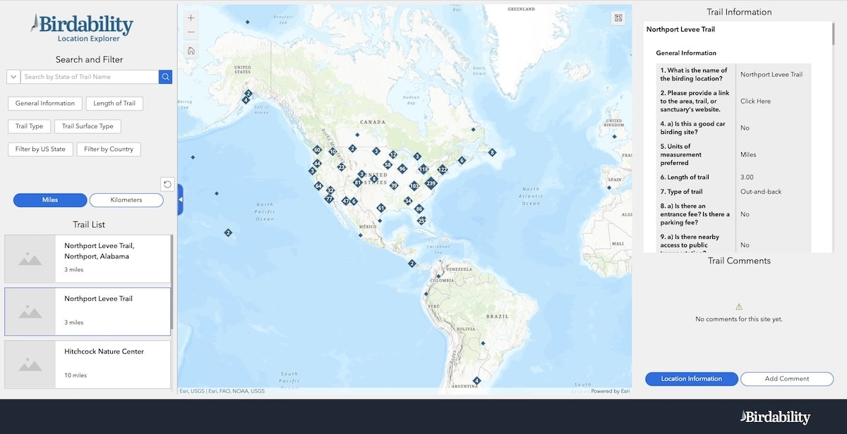
Turn the promising map entry into a viable trip by checking its exact entrance, route, and facilities. eBird’s expanded Hotspot About information, documented in April 2026, is organized into Plan your Visit, How to Bird Here, and About this Place. Before you settle on a spot, read the birding places guide for habitat, trail access, and recent sightings.
- Plan your Visit: entrance information, opening hours, parking, fees, permits, and amenities.
- How to Bird Here: habitat and route information for your intended visit.
- About this Place: background on the site and its surroundings, useful for reading the other details.
The official eBird Hotspot About Pages guidance describes those sections. Fields vary by location, and an individual hotspot may offer different facilities from a wider Hotspot Group.
Hotspot Features are marked Yes, No, or Unknown, and Unknown is the default, so it means nobody has confirmed the feature either way. A group may show Yes for restrooms when only one site in the group has them, and even a Yes can be temporary or seasonal.
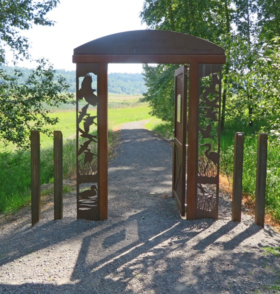
For your date, check the official park, refuge, or preserve operator for hours, closures, entrance permissions, trail rules, fees, parking, and the facilities you need. A checklist on eBird doesn’t give you permission to enter.
At Oregon’s Ankeny National Wildlife Refuge, U.S. Fish and Wildlife Service visitor information describes a Rail Trail boardwalk of 0.75 mile one way to an observation blind and lists the dike trails as seasonally accessible from April 1 through September 30. Those are different routes inside one refuge, with different published access descriptions.
If you have mobility constraints, route details matter most. Birdability’s access considerations cover trail surface, width, slope, distance, parking, resting opportunities, and facilities. A general accessibility label tells you less than the actual characteristics of the route.
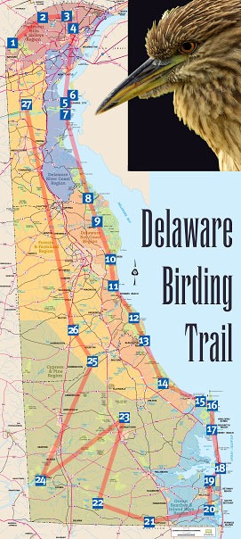
Use local birders when the hotspot data are thin
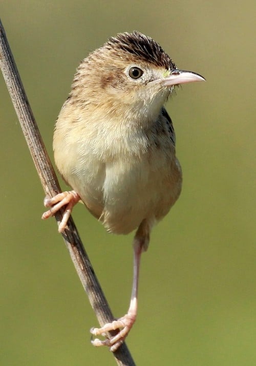
A lightly reported hotspot may have too few observations to describe its birdlife. Before you judge such a site, check whether the data are sparse or come from only a few contributors.
In eBird, Iconic Birds compares how frequently a species is recorded at a hotspot with its frequency in the surrounding region, using complete checklists. eBird flags these low-data cases:
- 20 or fewer complete checklists for the relevant period
- Information from one observer
- Gaps in bar charts
- Unexpectedly similar frequency bars across species
If local reporting leaves the decision open, find a regional birding group, nature club, Audubon chapter, Bird Alliance group, or public guided walk. Their location descriptions and trip schedules point to habitats, established visitor routes, and what people look for during the season.
A small wooded preserve might have little eBird history but a nearby organization that regularly leads nature walks there. Use that as a lead on whether the place is worth a visit. Old reports can describe a landscape that has since changed.
Make the outing plan and keep a backup
Write down the exact entrance or trailhead and your intended visit time for the primary location, plus a nearby alternative that fits the same constraints.